

A major earthquake of a magnitude greater than 7.0 striking the San Andreas fault may jolt Los Angeles much harder than previously thought, scientists say. According to a seismology study published earlier this year by scientists from Stanford and MIT, if a large earthquake hits the San Andreas fault near Palm Springs, the seismic waves will travel along a path near Interstate 10 into Los Angeles where the city and suburbs will experience stronger motion than previously believed.
According to the ShakeOut Earthquake Scenario, a study by the U. S. Geological Survey and the Southern California Earthquake Center on the impact of a 7.8 earthquake in Southern California reveals that an earthquake with an epicenter at the Salton Sea on the San Andreas fault would radiate all along the fault line and also radiate across Los Angeles County to the Pacific Ocean.

The study notes that the overall shaking by an earthquake of this magnitude will produce more than 50 times the shaking of the Northridge quake (inset map). An earthquake of this size will likely cause major damage to the aqueducts that transport water to Southern California from Northern California. In addition, there will be significant damage to LADWP infrastructure which can result in severe disruption of water supplies throughout the city. It is expected that there may be no water or power for major portions of the city for several days and complete repairs may take as much as six months or more to complete.
This is particularly onerous news for the residents of Pacific Palisades since we only have two means of getting in and out of our community: Sunset Boulevard and Pacific Coast Highway. The likely reality is that citizens should be prepared to be self-sustaining for several weeks after a cataclysmic earthquake event.
To help keep everyone prepared for such an emergency, Flo Elfant, the Disaster Preparedness advisor for the Pacific Palisades Community Council has created three important disaster preparedness guides that are available free to the community. You can download each of these files (in PDF format) below. As the introduction to the planning guide indicates, "During any disaster, the number and scope of incidents can overwhelm conventional emergency services. In Pacific Palisades, because of our geographical location, we may be isolated for an indeterminate time. Conventional emergency services may not be at all available to any of us. We must be there for each other and therefore it is imperative that we all prepare ourselves as a unit and as a team on our street and/or in our building."
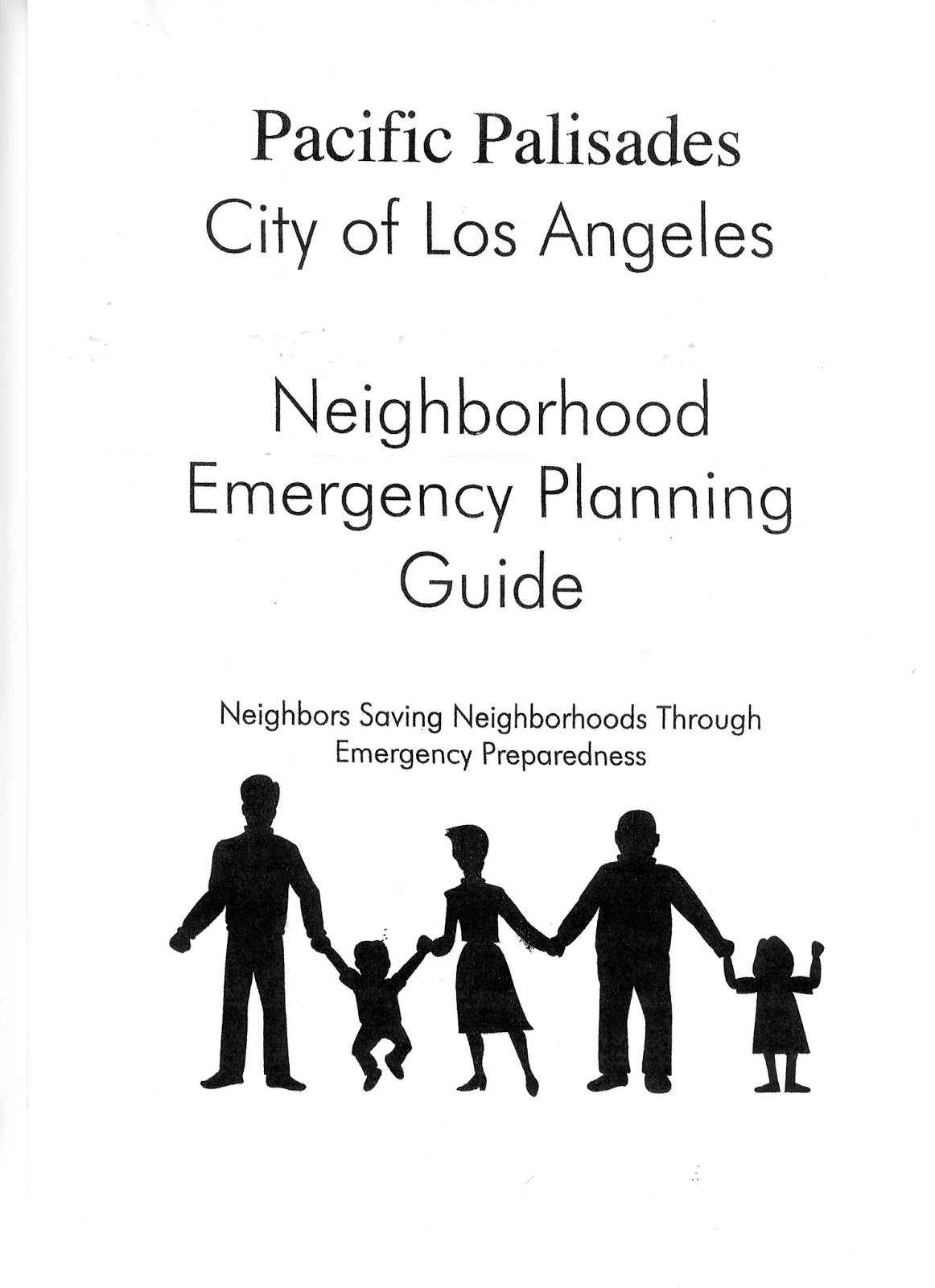
The first and most important resource for our residents is the Family and Business Disaster Information Plus Personal Survival Guide. The Neighborhood Emergency Planning Guide helps neighbors put plans in place to protect their entire neighborhood in the event of emergency. Finally, the Pacific Palisades Business Emergency Planning Guide helps businesses prepare plans for continuity of service during a prolonged emergency.


Don't delay! Download these important resources, study them and take appropriate action to prepare yourself for the emergency that will befall all of us. Don't wait for the emergency to strike, because if you do, it will be too late.
The TinyURL for this post is http://tinyurl.com/PPCC-Emergency-Prep
No comments:
Post a Comment